

Update your business information in a few steps. Make it easy for your customers to find you on Yellowpages.
New! Post a job opening on your free listing.
Claim Your Listingor call 1-866-794-0889

How much is a tankless water heater?
Who should I contact for bankruptcy advice?

Maximize your opportunities for shoppers to find you by advertising with Yellowpages.Learn More
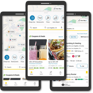
You can search millions of local businesses on the go. Everything you need is in one app.
208K Total